
DRONE MONITORING
Continuous Aerial Oversight
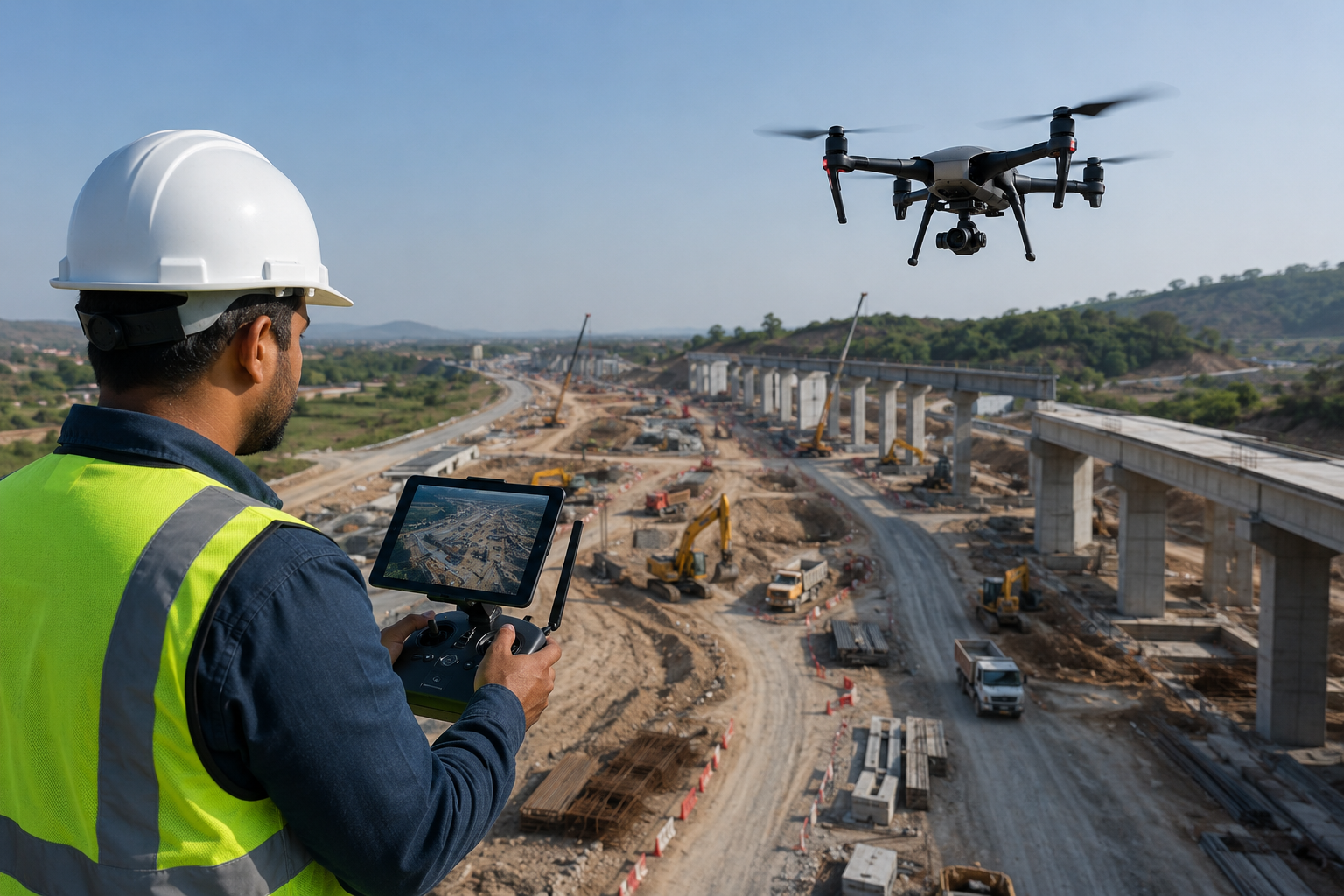
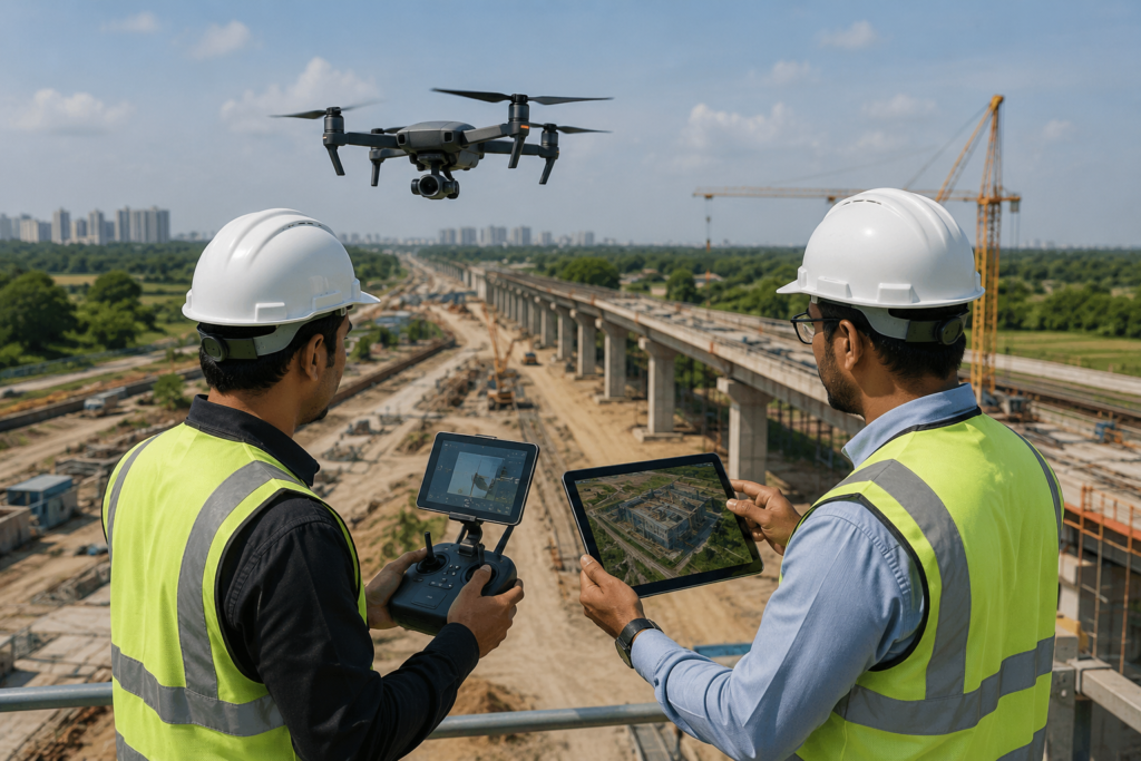
At MD Sharma Company, we provide advanced Drone Monitoring solutions designed to give project managers, developers, and stakeholders a comprehensive real-time visual understanding of their physical assets through accurate aerial inspections and periodic monitoring.
CORE CAPABILITIES & MONITORING WORKFLOW
Introduction to Continuous Aerial Oversight
At MD Sharma Company, we provide advanced Drone Monitoring solutions designed to give project managers, stakeholders, and developers a comprehensive, real-time visual grasp of their physical assets. While traditional ground-based monitoring can be slow and fragmented, our UAV-based monitoring delivers accurate, periodic aerial insights for faster decision-making and improved project control.
By systematically tracking changes over time, our drone monitoring services transform routine project auditing into a precise, data-driven workflow. Whether monitoring highways, railway corridors, industrial facilities, or large infrastructure projects, our consistent aerial oversight keeps your team informed with reliable site progress and accurate visual records.
MONITORING WORKFLOW
Our Monitoring & Asset Tracking Workflow
To deliver reliable timeline insights, we follow a rigorous field and data processing workflow that guarantees consistency across every site deployment.
01. Repeatable Path Programming (Waypointing)
To ensure accurate comparison over weeks or months, we program precise GPS-guided flight paths (waypoints). The drone flies the exact same route, altitude, and camera angle during every site visit, enabling reliable time-lapse tracking and accurate comparison.
02. High-Frequency Data Capture
Our operations teams conduct scheduled flights based on project milestones—weekly, bi-weekly, or monthly. High-resolution RGB and zoom sensors capture every phase of development with complete structural clarity
03. Change Detection & Analytics
Captured imagery is processed using specialized software that overlays new datasets with previous surveys. This allows rapid identification of completed work, deviations from design, and potential construction delays.
04. Interactive Dashboard Reporting
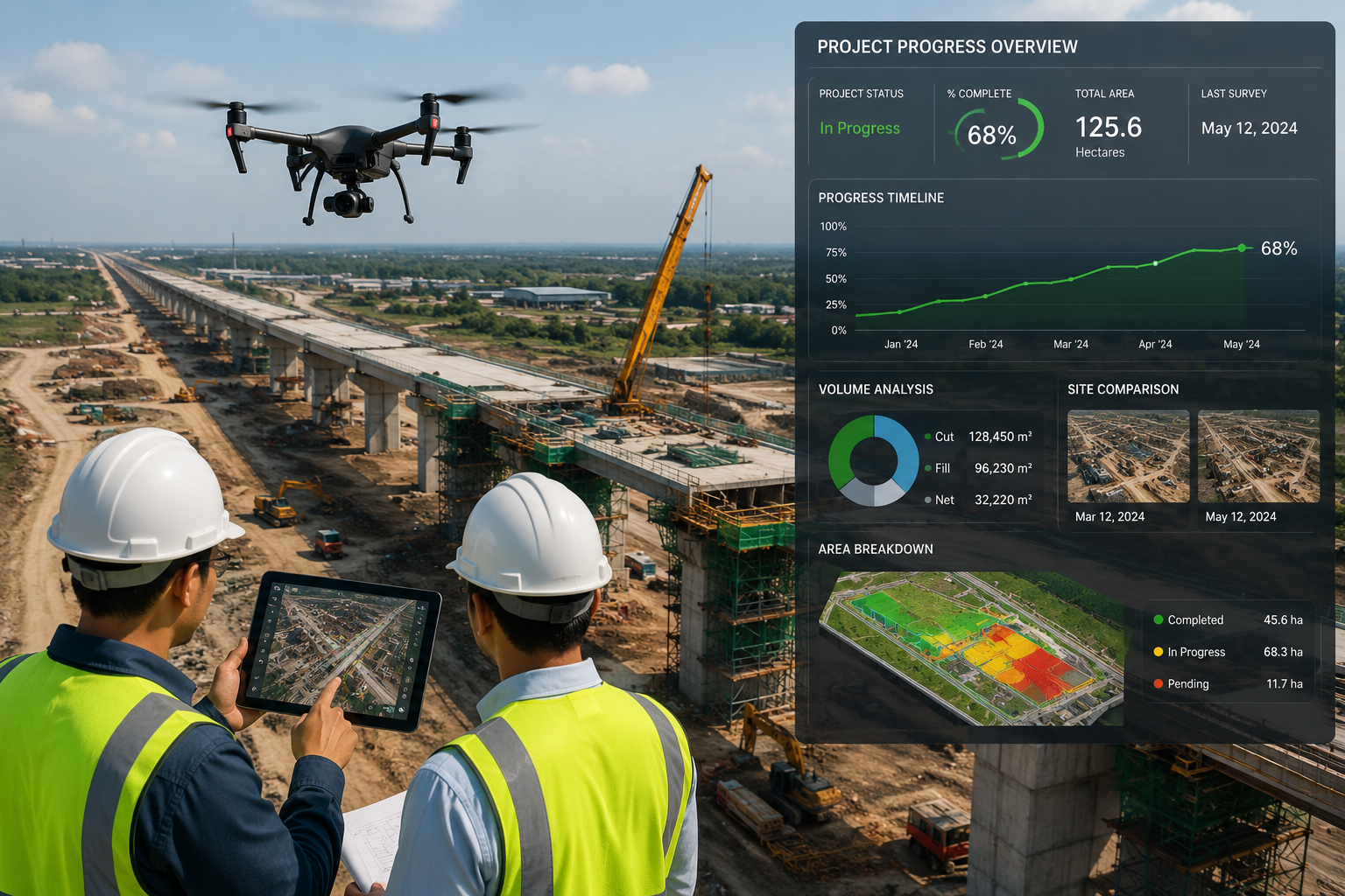
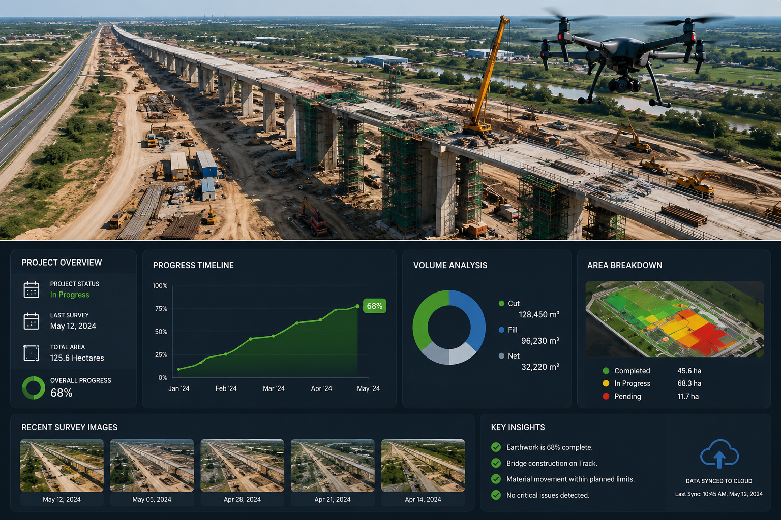
Instead of delivering cluttered raw files, we provide organized cloud dashboards where project teams can review time-lapse progress, share reports with stakeholders, and download visual documentation instantly.
ANALYTICAL DELIVERABLES
Key Monitoring Deliverables We Provide
Partnering with MD Sharma Company for your asset oversight yields powerful, actionable digital deliverables optimized for modern construction management software.
As-Built vs. As-Designed Comparisons
Direct visual overlays of actual ground progress against original CAD/BIM blueprints to detect structural misalignments or construction deviations early.
Volumetric Progress Tracking
Automated periodic calculations of earthwork movement, stockpile accumulation, and excavation status to monitor project progress.
Time-Lapse Progress Mapping
High-resolution orthomosaic timelines documenting the entire lifecycle of a project from initial ground-breaking to final completion.
Site Safety & Logistics Visuals
Comprehensive aerial safety maps for identifying hazards, monitoring material storage, optimizing vehicle routes, and improving workforce safety.
INDUSTRY & SECTOR APPLICATIONS
Industries We Serve
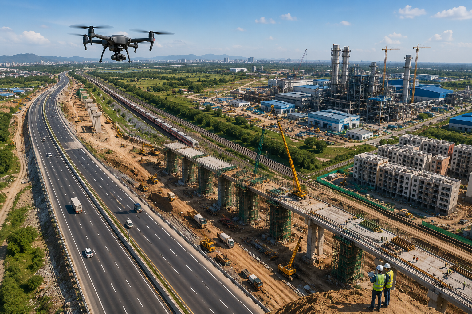
Our Drone Monitoring services help government agencies, infrastructure developers, construction firms, and industrial organizations monitor projects efficiently with accurate aerial data and real-time progress insights.
Linear Infrastructure & Highway Projects
Monitor long highway corridors, bridge construction, grading progress, paving quality, and right-of-way compliance with regular aerial inspections.
Railways, Metros & Earthwork Tracking
Track embankment construction, alignment grading, slope stability, and large-scale earthwork with consistent drone monitoring flights.
Industrial Facilities & Plant Construction
Monitor equipment installation, structural development, pipeline routing, and construction milestones safely from above.
Real Estate & Large-Scale Urban Townships
Provide developers and investors with accurate visual project updates, engineering verification, and marketing-ready aerial progress reports.
WHY CHOOSE US
Why Choose
MD Sharma Company?
Visibility Driven by Analytics
We don’t just provide aerial images—we deliver structured project intelligence. Backed by extensive field engineering experience and advanced drone technology, our monitoring solutions help verify progress, reduce project risks, improve decision-making, and keep infrastructure projects on schedule with reliable data.
- High-Resolution Drone Monitoring
- Accurate Project Progress Verification
- Engineering-Grade Reporting
- Fast Turnaround & Reliable Support