
LIDAR SURVEY
Advanced LiDAR
Survey &
3D Laser Scanning
Capture engineering-grade terrain data with advanced LiDAR technology, delivering sub-centimeter accuracy, dense 3D point clouds, and precise topographic models for complex infrastructure projects.
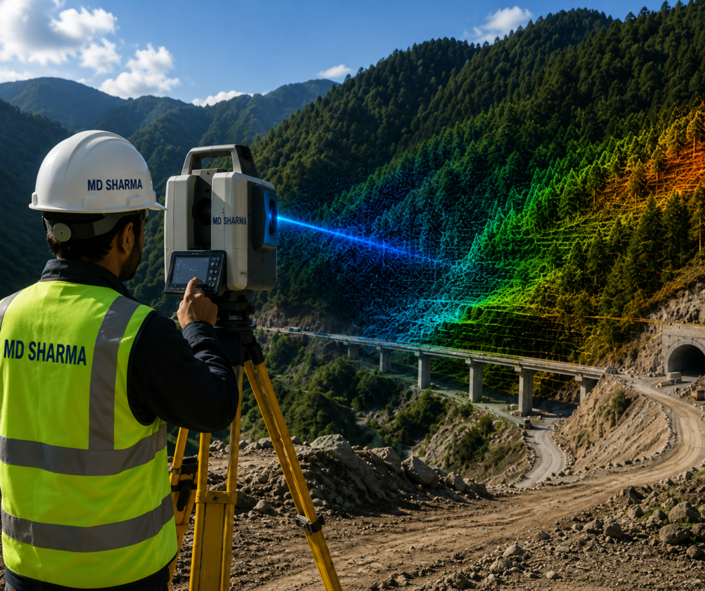
ADVANCED 3D LASER SCANNING & TERRAIN PENETRATION
Introduction to Sub-Centimeter 3D Mapping
At MD Sharma Company, we provide advanced LiDAR Survey solutions that capture highly accurate three-dimensional data for complex engineering and infrastructure projects. Using airborne and terrestrial LiDAR systems, millions of laser pulses penetrate dense vegetation to reveal the true bare-earth terrain with exceptional precision.
Integrated with precision IMU and GNSS positioning, our LiDAR workflows generate dense 3D point clouds for railway corridors, highway expansions, structural analysis, and large-scale infrastructure planning, providing reliable datasets for engineering-grade design and decision-making.
OUR WORKFLOW
Our High-Precision LiDAR Workflow
Our geomatics specialists follow a precise LiDAR acquisition and processing workflow to generate engineering-grade 3D datasets with exceptional accuracy.
Sensor Calibration & Flight Planning
Before deployment, LiDAR sensors, IMU, and GNSS systems are carefully calibrated, while flight paths and scanning routes are planned to achieve the required point density for each project.
High-Density Laser Data Capture
Using airborne or terrestrial LiDAR systems, millions of laser pulses are captured every second to record terrain, vegetation, structures, and hidden ground surfaces with exceptional detail.
Point Cloud Classification & Filtering
Raw laser reflections are processed into classified 3D point clouds, separating ground, vegetation, buildings, power lines, and other assets into accurate digital layers.
Hydrological & Structural Modeling
Classified point clouds are converted into high-accuracy terrain models, CAD, BIM, and GIS-ready datasets for engineering design, infrastructure planning, and structural analysis.
HIGH-VALUE DELIVERABLES & ENGINEERING APPLICATIONS
Key LiDAR
Deliverables
We Provide
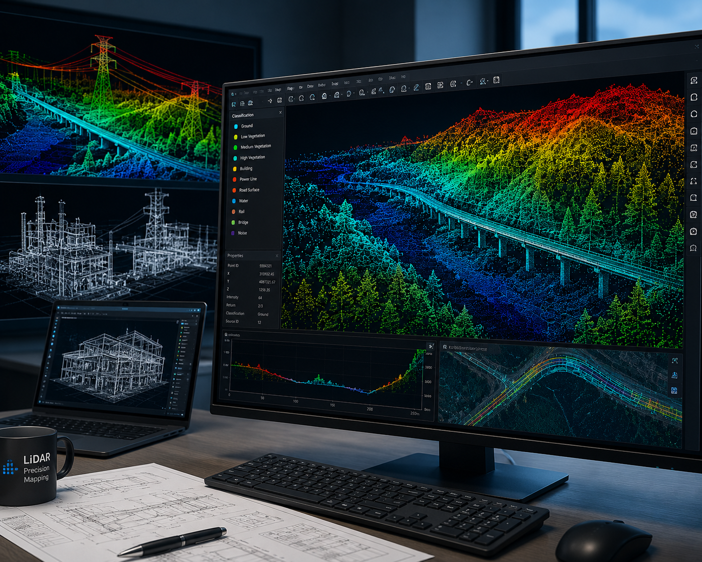
Partnering with MD Sharma Company ensures your engineering teams receive highly accurate, data-rich LiDAR deliverables that integrate seamlessly with CAD, BIM, and GIS workflows for infrastructure planning and design.
- Classified 3D Point Clouds
- High-Accuracy Digital Terrain Models (DTM)
- As-Built 3D CAD & BIM Models
- Cross-Section & Profile Drawings
ENGINEERING APPLICATIONS
Heavy Infrastructure & Industrial Applications
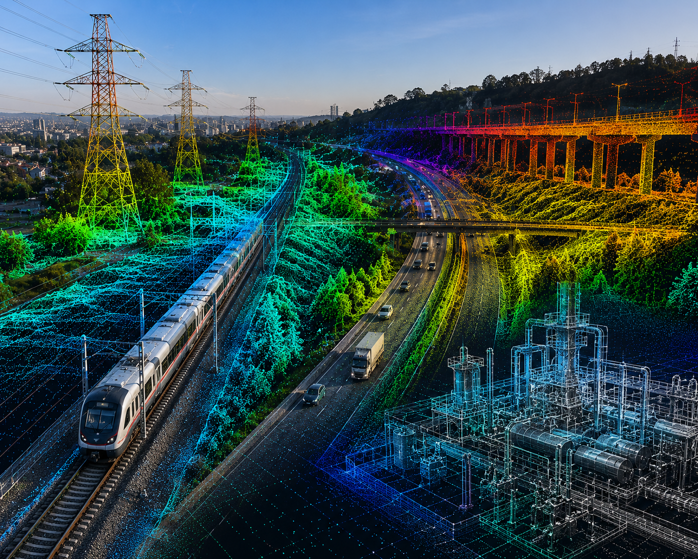
Our specialized LiDAR surveying solutions provide engineering-grade data for large-scale infrastructure projects, enabling precise planning, safety analysis, and asset management across critical industries.
- Railways, Metro Corridors & Clearance Audits
- Roads, Highways & Expressways Design
- Power Transmission Lines & Grid Safety Monitoring
- Smart Cities, Urban Mapping & Asset Management

WHY CHOOSE MD Sharma Company
Unlocking the
True 3D World
We don’t just collect data points—we deliver engineering certainty. Backed by advanced LiDAR technology, experienced geomatics engineers, and proven expertise in large-scale infrastructure projects, MD Sharma Company provides highly accurate 3D datasets that support confident planning, precise design, and reliable engineering decisions.