
GIS & REMOTE SENSING
Advanced GIS &
Remote Sensing
Solutions
Integrate satellite imagery, drone data, LiDAR, and field surveys into intelligent GIS platforms that deliver advanced spatial analysis, enterprise mapping, and data-driven decision making.
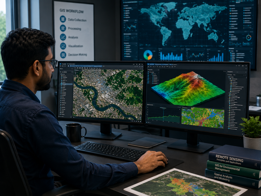
SPATIAL DATA INTEGRATION & ANALYTICAL CAPABILITIES
Introduction to
Advanced
Geospatial Intelligence
At MD Sharma Company, we provide advanced GIS and Remote Sensing solutions that integrate satellite imagery, drone surveys, and field data into intelligent geospatial systems for infrastructure planning, environmental monitoring, and asset management.
By combining advanced spatial analysis with multi-layer GIS models, we deliver accurate mapping, automated feature extraction, land-use analysis, and enterprise-ready geospatial databases that support faster and more informed decision-making.
OUR WORKFLOW
Our GIS &
Remote Sensing
Workflows
Our GIS analysts and remote sensing engineers follow a structured workflow to build accurate, secure, and enterprise-ready geospatial databases for planning, monitoring, and analysis.
Multi-Source Spatial Data Ingestion
We integrate satellite imagery, drone surveys, LiDAR point clouds, and field survey data into a unified coordinate system, ensuring consistency across all geospatial datasets.
Advanced Imagery Processing & Classification
Using advanced remote sensing software, we perform image corrections, land classification, vegetation analysis, and automated feature extraction with high accuracy.
Spatial Data Layering & Modeling
Multiple GIS layers—including terrain, roads, water bodies, utilities, and land use—are combined to generate intelligent spatial models for engineering and planning.
Enterprise Database Management
Geospatial information is organized into secure, optimized GIS databases, enabling rapid spatial queries, infrastructure management, and long-term digital record keeping.
VALUABLE DIGITAL DELIVERABLES
Key GIS &
Remote Sensing
Deliverables
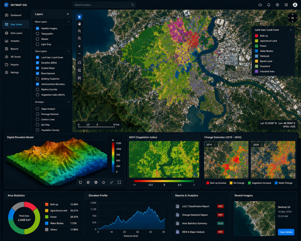
Partnering with MD Sharma Company ensures your planning, environmental, and asset management teams receive enterprise-ready GIS deliverables that integrate seamlessly with engineering and decision-making workflows.
- Land Use & Land Cover (LULC) Maps
- Time-Series Change Detection Reports
- Digital Elevation & Hydrological Models
- Custom Web-GIS Thematic Dashboards
SECTOR APPLICATIONS
Strategic Sector &
Governance
Applications
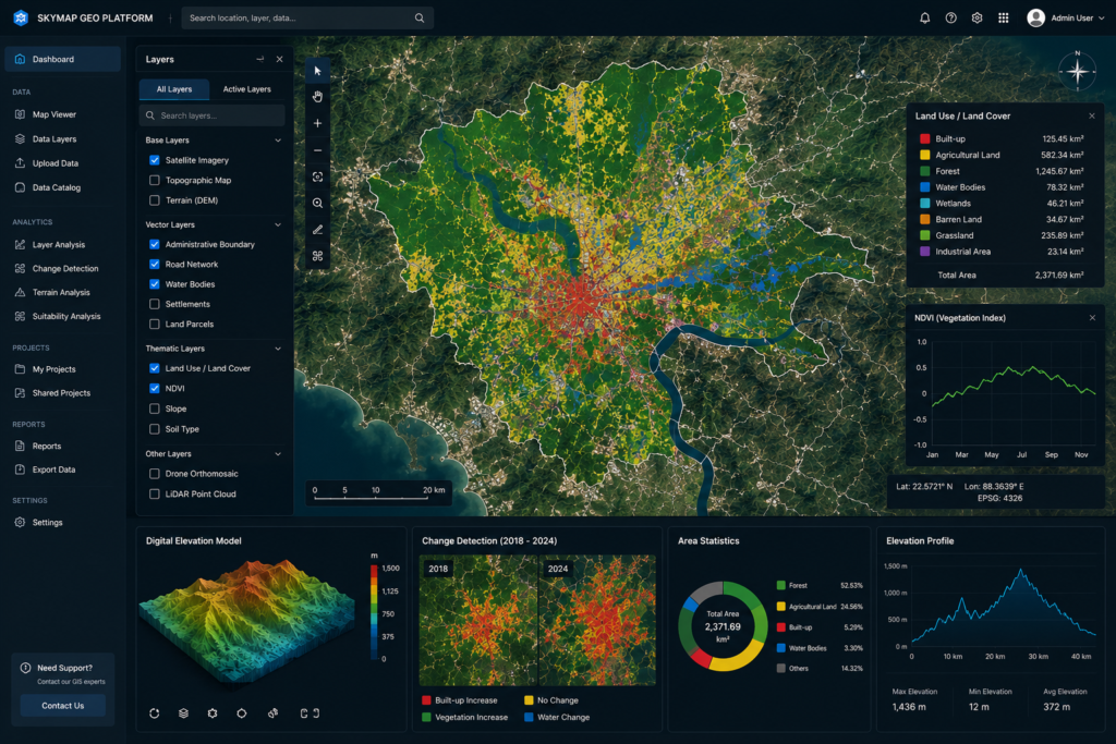
Our GIS and Remote Sensing solutions provide accurate spatial intelligence for government agencies, infrastructure operators, environmental organizations, and agricultural enterprises, enabling smarter planning and long-term asset management.
- Smart Cities, Urban Governance & Tax Mapping
- Environmental Monitoring, Forestry & Climate Studies
- Pipeline, Telecom & Utility Corridor Management
- Agriculture Insights, Crop Health & Yield Estimation
Why Choose MD SHARMA COMPANY?
Translating Spatial Data into Business Value: We don’t just process maps; we deliver geographic clarity. Backed by heavy technical investment in cutting-edge GIS workstations, specialized remote sensing geometallurgy professionals, and an established history of handling large-scale infrastructure consultancies, our workflows ensure your strategic decisions are rooted in absolute data reality.