
DGPS GROUND SURVEY
High-Precision
DGPS Ground
Survey Solutions
Establish highly accurate geodetic control networks using multi-frequency GNSS and DGPS technology for infrastructure, mapping, and engineering projects with survey-grade precision.

GLOBAL COORDINATE NETWORKS & HIGH-PRECISION REFERENCE SYSTEMS
Introduction to
Earth-Curvature
Corrected Geodesy
At MD Sharma Company, we provide specialized DGPS Ground Survey solutions that establish highly accurate geodetic control networks for highways, railways, industrial facilities, and national-scale infrastructure projects.
Using multi-frequency GNSS receivers, DGPS rovers, and advanced geodetic processing, we connect local survey layouts to global coordinate systems, ensuring reliable positioning, precise elevation control, and engineering-grade accuracy.
OUR WORKFLOW
Our Technical
Geodetic
Workflow
Our geodetic engineers follow a scientific workflow to establish permanent reference networks, process GNSS observations, and deliver highly accurate global coordinate systems for engineering projects.
Monumentation & Permanent Benchmark Setting
Permanent concrete benchmarks are strategically installed to create stable reference points that remain fixed for the entire project lifecycle.
Static GNSS Data Acquisition
Long-duration observations using multi-frequency GNSS receivers collect high-precision satellite data while minimizing atmospheric and orbital errors.
Baseline Processing & Network Adjustment
Advanced geodetic software processes GNSS baselines and performs least-squares adjustments, linking project control points to national and global coordinate systems.
Orthometric Height Calibration
Geoid models and precision leveling convert ellipsoidal GNSS heights into accurate Mean Sea Level (MSL) elevations for reliable engineering and drainage design.
VALUABLE GEO-DATA ASSETS
Key Geodetic Deliverables
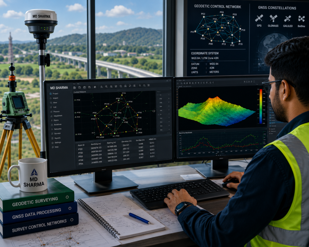
Partnering with MD Sharma Company ensures your engineering and mapping teams receive certified geodetic datasets that provide reliable positioning, elevation control, and seamless integration into CAD, GIS, and infrastructure workflows.
- Certified Primary Control Network Reports
- Static GNSS Baseline Log Sheets
- Coordinate Transformation Matrices
- High-Precision Vertical Control Loops
SECTOR APPLICATIONS
National-Scale
Mega Project
Applications
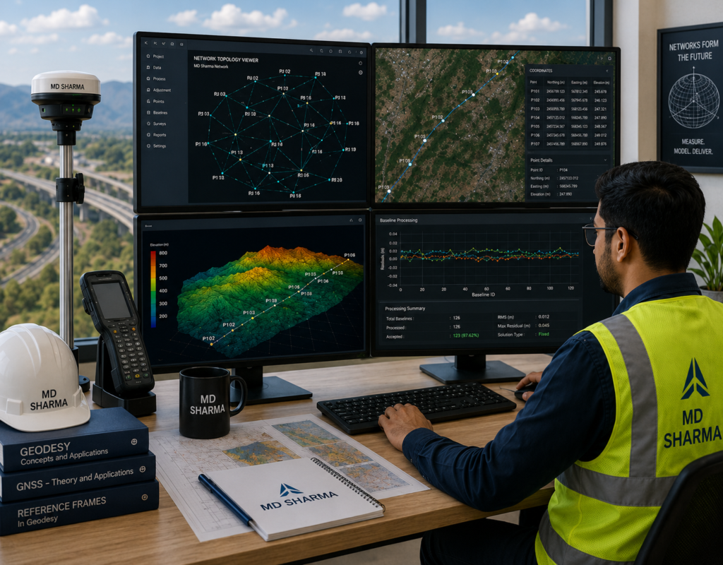
Our DGPS Ground Survey solutions establish reliable geodetic control networks for national infrastructure projects, ensuring precise positioning, elevation control, and seamless engineering execution across large geographic areas.
- Trans-National Highways & Expressway Corridors
- Railways, Metro Lines & Long-Distance Tunnels
- Drone, LiDAR & Satellite Mapping Ground Control
- River Basins, Irrigation Canals & Dam Projects
WHY CHOOSE MD SHARMA COMPANY
Aligning Your Projects
with True Earth
Reality
We don’t just measure coordinates—we establish trusted geodetic reference systems. With advanced multi-constellation GNSS technology, experienced survey professionals, and expertise in large-scale infrastructure projects, MD Sharma Company delivers reliable positioning data that supports confident engineering and mapping decisions.