


Drone Monitoring
_____________
Monitor construction sites, industrial facilities, and critical infrastructure with real-time aerial insights for improved operational efficiency.
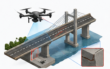
Drone Inspection
_____________
Safely inspect buildings, towers, bridges, solar plants, pipelines, and other difficult-to-access assets with high-resolution drone imagery.
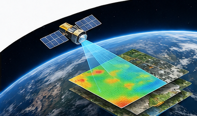
Satellite Survey
_____________
Leverage satellite imagery and remote sensing technology to analyze large geographic areas for planning, monitoring, and environmental studies.
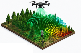
LiDAR Survey
_____________
Generate precise 3D terrain models and digital elevation data using advanced LiDAR technology for engineering and infrastructure projects.
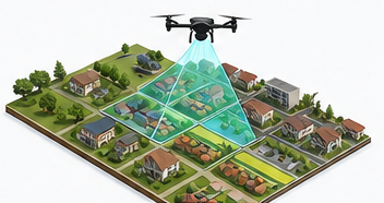
Drone Mapping
_____________
Create accurate orthomosaic maps, 3D models, thermal imagery, and multispectral analysis for agriculture, mining, construction, and surveying.

Aerial Survey
_____________
Cover large-scale projects efficiently with professional aerial survey solutions, delivering detailed geospatial data with exceptional accuracy.

Subsurface Survey
_____________
Detect underground utilities, pipelines, cables, and hidden structures using Ground Penetrating Radar (GPR) and advanced geophysical techniques.
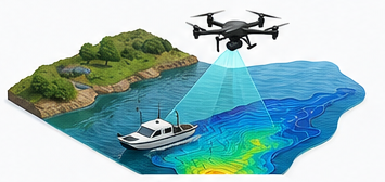
Hydrographic Survey
_____________
Perform underwater mapping, depth analysis, and bathymetric surveys for rivers, lakes, reservoirs, and coastal infrastructure projects.
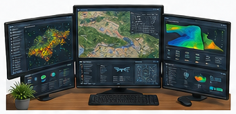
GIS & Remote Sensing
_____________
Transform spatial data into actionable insights through Geographic Information Systems (GIS) and advanced remote sensing solutions.

Engineering Survey
_____________
Support construction, infrastructure, and development projects with precise survey data for planning, design, execution, and quality assurance.
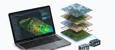
Geospatial Software Solutions
_____________
Develop custom GIS platforms, web mapping applications, dashboards, and data management systems tailored to your business requirements.


Training & Professional Development
_____________
Empower students and professionals with industry-focused training in drone technology, GIS, remote sensing, LiDAR, and surveying.
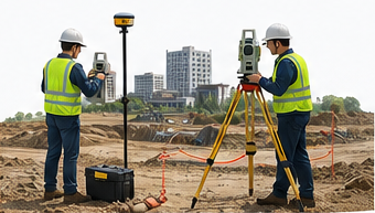
Ground Survey
_____________
Provide accurate on-site land measurements using Total Station, DGPS, Auto Level, and modern surveying equipment for engineering projects.