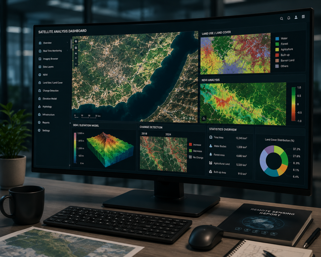
SATELLITE SURVEY
Advanced Satellite Survey & Remote Sensing Solutions
Leverage high-resolution satellite imagery, multi-spectral analysis, and advanced remote sensing technologies to map, monitor, and analyze vast geographical regions with unmatched precision, scalability, and engineering-grade accuracy.

MACRO-SCALE CAPABILITIES & REMOTE SENSING TECHNOLOGY
Introduction to Large-Scale Geospatial Intelligence
At MD Sharma Company, we deliver advanced satellite survey and remote sensing solutions for mapping, monitoring, and analyzing large geographical regions beyond the reach of traditional drone or ground surveys. Using high-resolution optical, multispectral, and radar satellite imagery, we provide accurate spatial intelligence for engineering, infrastructure, and environmental planning.
Our GIS specialists transform raw satellite imagery into structured geospatial datasets that support regional planning, environmental monitoring, historical terrain analysis, and large-scale infrastructure development. Every dataset is processed with engineering precision to ensure reliable, scalable, and compliance-ready results.
Our Remote Sensing &
Satellite Data Workflow
Our engineering and GIS specialists follow a structured satellite data acquisition and processing workflow to deliver accurate, scalable, and engineering-grade regional datasets.
Multi-Satellite Data Sourcing
We procure high-resolution optical, thermal, and SAR satellite imagery from trusted global providers to ensure the most suitable data for every project requirement.
Ortho-Rectification & Atmospheric Correction
Raw imagery is corrected for terrain distortion and atmospheric interference to produce highly accurate, geo-referenced datasets with true ground coordinates.
Spectral Signature Analysis & Layering
Advanced GIS software analyzes spectral bands to classify land cover, vegetation, water bodies, soil, and infrastructure with exceptional precision.
Temporal Change Detection
Historical and current satellite imagery are compared to identify urban expansion, environmental changes, infrastructure growth, and land-use variations over time.
VALUE DELIVERABLES & MACRO-INDUSTRIAL APPLICATIONS
Key Satellite
Deliverables
We Provide
Partnering with MD Sharma Company ensures your planning teams receive standardized GIS deliverables that seamlessly integrate into regional planning, infrastructure development, and environmental analysis workflows.
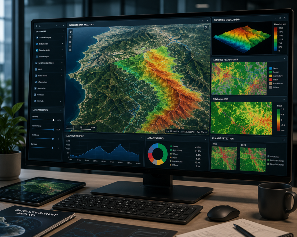
- High-Resolution Regional Satellite Maps
- Satellite-Derived DEM & DTM
- Land Use & Land Cover (LULC) Classifications
- Normalized Difference Vegetation Index (NDVI) Maps
Industry & Macro-Sector Applications
Our specialized Satellite Survey solutions provide accurate regional intelligence for infrastructure planning, environmental monitoring, water resource management, and geological exploration across large-scale projects.
- Regional Roads, Highways & Feasibility Corridors
Satellite surveys evaluate multiple route options, geological risks, and river crossings before detailed engineering begins.
- Water Resources, Watersheds & Flood Plain Mapping
Map river basins, reservoirs, flood-prone zones, and long-term waterbody changes using satellite imagery.
- Agriculture, Forestry & Environmental Monitoring
Monitor forests, crop health, land cover changes, and environmental impact across thousands of hectares.
- Geology, Mining Exploration & Regional Planning
Support mining, geological mapping, and smart city planning with regional-scale satellite intelligence.