
DRONE MAPPING
Advanced Drone
Mapping
&
Geospatial Intelligence
Transform high-resolution aerial imagery into centimeter-accurate geospatial maps, orthomosaics, 3D models, and intelligent datasets for engineering, agriculture, mining, and infrastructure planning.
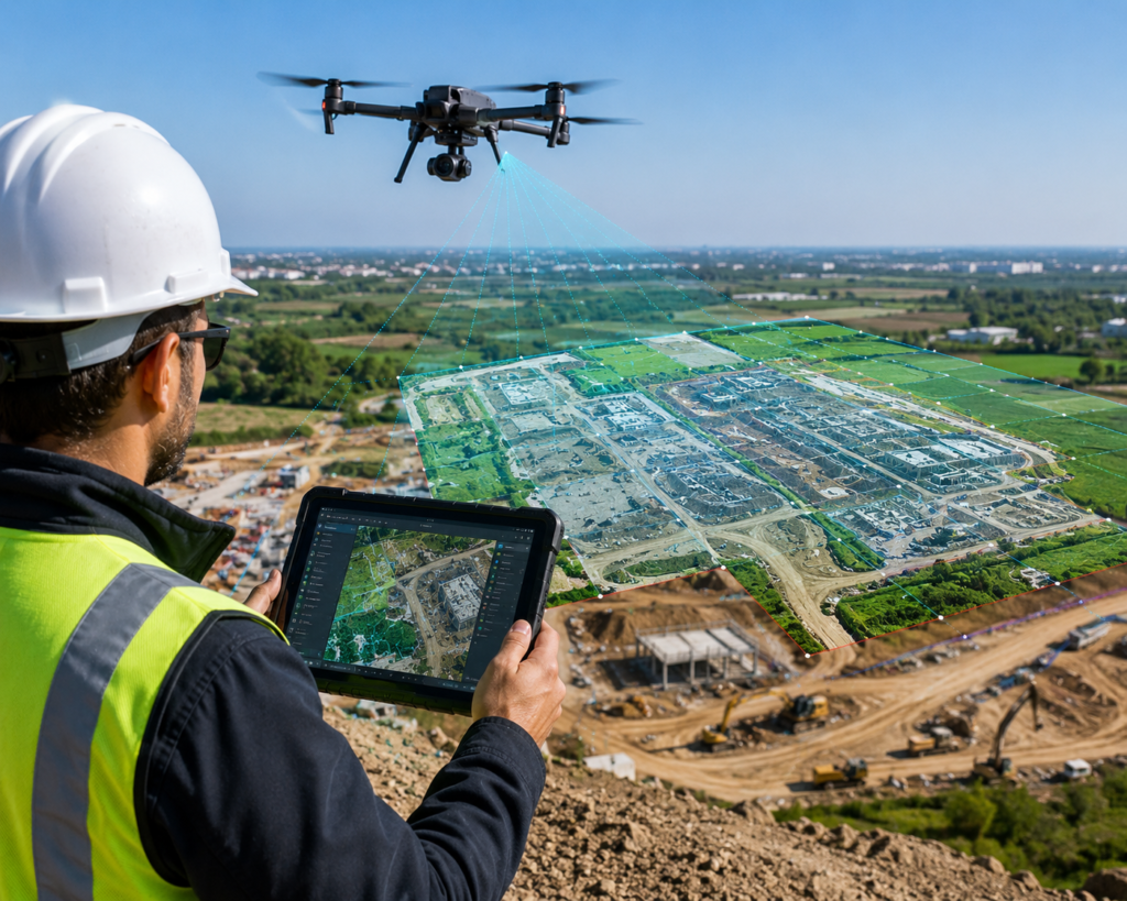
SMART GEOSPATIAL PROCESSING & DATA INTERPRETATION
Introduction to Intelligent Mapping Solutions
At MD Sharma Company, we provide advanced Drone Mapping services that transform aerial imagery into intelligent, high-accuracy geospatial maps. Using photogrammetry and multi-sensor drone technology, we create centimeter-accurate digital models for engineering, infrastructure, agriculture, and industrial planning.
By combining RGB, thermal, and multispectral imaging with advanced GIS processing, we generate detailed orthomosaic maps, 3D models, and analytical datasets that support faster decision-making and efficient project execution.
OUR WORKFLOW
Our Drone Mapping & Photogrammetry Workflow
Our GIS specialists follow a structured photogrammetry workflow to convert raw aerial imagery into highly accurate, geo-referenced spatial datasets for engineering and planning.
Controlled Image Acquisition
Using advanced flight planning software, drone missions are executed with optimal image overlap to capture every part of the survey area from multiple angles, ensuring complete coverage.
Aerial Triangulation & Stitching
Thousands of high-resolution aerial photographs are processed through photogrammetry software, where overlapping images are stitched into a seamless orthomosaic map.
Coordinate Geo-Referencing
Ground Control Points (GCPs) and precision survey data are integrated to align the map with real-world coordinates, ensuring engineering-grade positional accuracy.
Custom Feature Layering
GIS analysts extract roads, buildings, vegetation, water bodies, and other assets into organized vector layers, ready for CAD, GIS, and engineering workflows.
VALUABLE DIGITAL DELIVERABLES & SECTOR USES
Key Mapping
Deliverables
We Provide
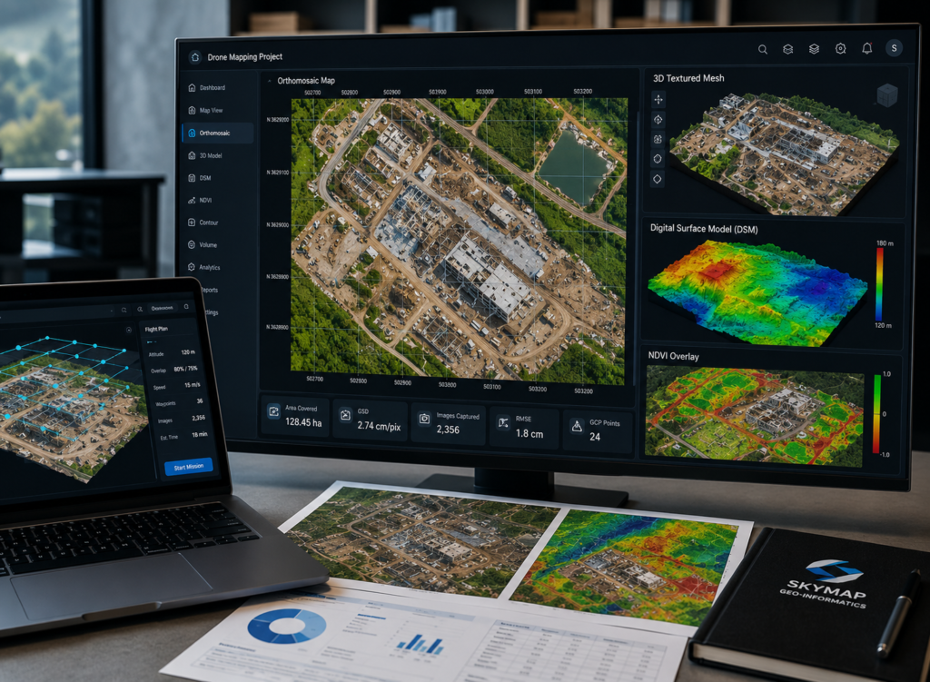
Partnering with MD Sharma Company ensures your teams receive standardized, GIS-ready deliverables that integrate seamlessly with engineering, CAD, and infrastructure planning workflows.
- High-Resolution Orthomosaic Maps
- 3D Textured Mesh Models
- Digital Surface Models (DSM)
- Multispectral & Vegetation Index (NDVI) Overlays
SECTOR APPLICATIONS
Strategic Sector & Industrial Applications
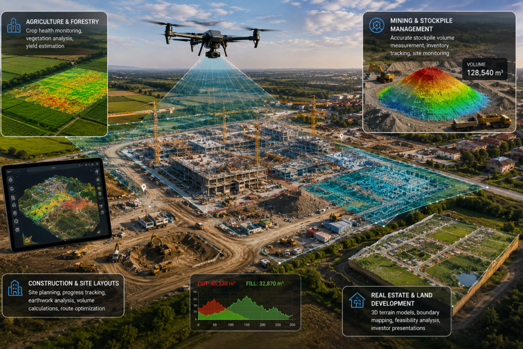
Our professional drone mapping solutions provide accurate geospatial intelligence for agriculture, mining, construction, and real estate projects, enabling faster planning and better decision-making.
- Smart Agriculture & Forestry Management
- Mining, Quarrying & Stockpile Management
- Construction Logistics & Site Layouts
- Real Estate & Commercial Land Development
WHY CHOOSE MD Sharma Company
Turning Imagery
Into Intelligence
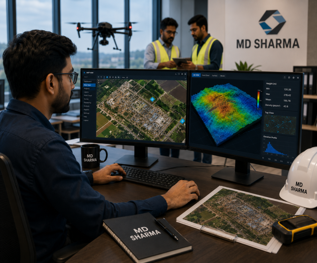
We don’t just capture aerial images—we transform them into intelligent geospatial models. With advanced photogrammetry software, experienced GIS professionals, and a proven track record in delivering high-accuracy mapping solutions, MD Sharma Company provides reliable data that supports confident planning and informed engineering decisions.